Search Constraints
You searched for:
On-site Access Accessible by appointment in the Study Room
Remove constraint On-site Access: Accessible by appointment in the Study RoomPeriod 18th century
Remove constraint Period: 18th centuryWork Type hand coloring
Remove constraint Work Type: hand coloringSearch Results
1
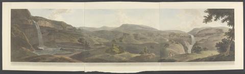
- Oriental scenery
- 1795-1807 [that is, 1808]

2
- London and Westminster improved
- MDCCLXVU [1766]
![Daniell, Thomas, 1749-1840, artist, printmaker, publisher. [Views in Calcutta]](https://media.collections.yale.edu/thumbnail/ycba/9b1c9e9c-a3b6-480a-9dd2-d10d15f8b7c5)
3
- [Views in Calcutta]
- 1786-1788

4
- Explication des cent estampes qui representent differentes nations du Levant
- MDCCXV [1715]
5
- The itinerant
- 1799
6
- [Engravings of the principal mosaic pavements which have been discovered in the course of the last and present centuries, in various parts of Great Britain
- 1796-1804
7
- [Harvest landscape]
- [Germany],
8
- A topographical map of Hartford-shire, from an actual survey
- [1782]
9
- Groote vissery
- [1720?]
10
- Atlas geographicus portatilis, XXIX mappis orbis habitabilis regna exhibens
- [1762?]
11
- Description historique-géographique des isles Britanniques ou des royaumes d'Angleterre, d'Ecosse et d'Irlande
- MDCCLIX [1759]
12
- A history of the campaigns of 1780 and 1781 in the southern provinces of North America
- MDCCLXXXVII [1787]
13
- Atlas minimus, or A new set of pocket maps of the several empires, kingdoms and states of the known world
- [1758]
14
- The beauties of the Dutch school
- MDCCXCIII [1793]
15
- A description of the maritime parts of France
- MDCCLXI [1761]