Search Constraints
You searched for:
Exhibition History The Mapmaker's Art: 300 Years of British Cartography (Yale Center for British Art, January 17, 1989-March 12, 1989)
Remove constraint Exhibition History: The Mapmaker's Art: 300 Years of British Cartography (Yale Center for British Art, January 17, 1989-March 12, 1989)Image Use Under Certain Circumstances
Remove constraint Image Use: Under Certain CircumstancesSearch Results

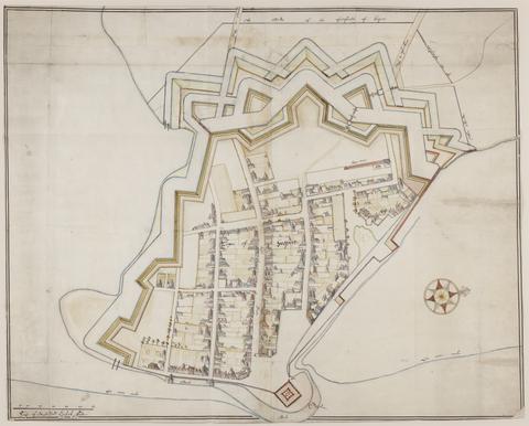
- Date:
- approximately 1678
- Physical Description:
- 1 map : pen-and-ink and watercolor ; 74 x 93 cm
- Collection:
- Rare Books and Manuscripts

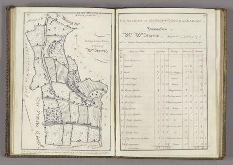
- Date:
- 1765
- Physical Description:
- 1 volume ([44] p.) : maps ; 26 cm.
- Collection:
- Rare Books and Manuscripts

- Date:
- 1591
- Physical Description:
- 1 map : engraving ; 24 x 33 cm, on sheet 29 x 43 cm
- Collection:
- Rare Books and Manuscripts

- Date:
- 1757?
- Physical Description:
- 1 v. ([74] p.) : ill. ; 17 cm.
- Collection:
- Rare Books and Manuscripts

- Date:
- [approximately 1695]
- Physical Description:
- 1 map : engraving, hand colored ; 46 x 56 cm, on sheet 51 x 61 cm
- Collection:
- Rare Books and Manuscripts

- Date:
- [1575]
- Physical Description:
- 1 map : engraving ; 38 x 42 cm
- Collection:
- Rare Books and Manuscripts

- Date:
- [1486]
- Physical Description:
- 1 map : woodcut ; 35 x 39 cm, on sheet 41 x 57 cm
- Collection:
- Rare Books and Manuscripts

- Date:
- [1698]
- Physical Description:
- 1 atlas (78 pages) : manuscript, 17 maps, pen and ink and watercolor ; 37 cm
- Collection:
- Rare Books and Manuscripts

- Date:
- 1724
- Physical Description:
- 1 atlas ([58] leaves) : maps ; 17 x 20 cm
- Collection:
- Rare Books and Manuscripts

- Date:
- 1681-1682
- Physical Description:
- 2 maps : pen and ink and watercolor ; each sheet 39 x 42 cm
- Collection:
- Rare Books and Manuscripts

- Date:
- [approximately 1682?]
- Physical Description:
- 1 map : hand colored ; 48 x 48 cm
- Collection:
- Rare Books and Manuscripts

- Date:
- 1600
- Physical Description:
- 1 map : pen and ink and watercolor ; 42 x 58 cm, on sheet 44 x 59 cm
- Collection:
- Rare Books and Manuscripts

- Date:
- ca. 1680
- Physical Description:
- 1 map : pen and ink and gray wash ; sheet 45 x 57 cm
- Collection:
- Rare Books and Manuscripts

- Date:
- [1645]
- Physical Description:
- 1 map : engraving ; 40 x 30 cm, on sheet 50 x 60 cm
- Collection:
- Rare Books and Manuscripts

- Date:
- [1579]
- Physical Description:
- 1 atlas ([1] leaf, [71] leaves of plates) : 35 maps, port. ; 42 cm. (fol.)
- Collection:
- Rare Books and Manuscripts

- Date:
- 1610
- Physical Description:
- 1 map : engraving ; 37 x 50 cm
- Collection:
- Rare Books and Manuscripts

- Date:
- MDXLVI [1546]
- Physical Description:
- 1 map on 2 sheets ; 51.8 x 72.2 cm, on sheet 56.2 x 76.3 cm.
- Collection:
- Rare Books and Manuscripts