Search Constraints
You searched for:
Period 18th century
Remove constraint Period: 18th centuryImage Available Available
Remove constraint Image Available: AvailableWork Type map
Remove constraint Work Type: mapSearch Results
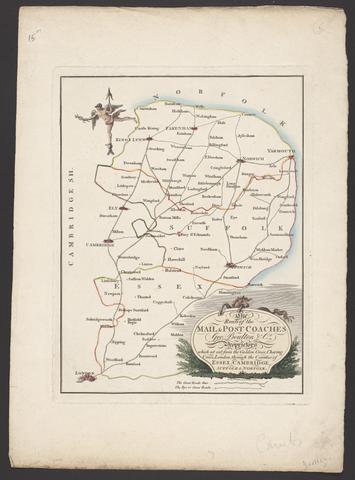
- Date:
- [between 1796 and 1809]
- Physical Description:
- 1 map : engraving ; 26 x 20 cm, on sheet 38 x 28 cm
- Collection:
- Rare Books and Manuscripts
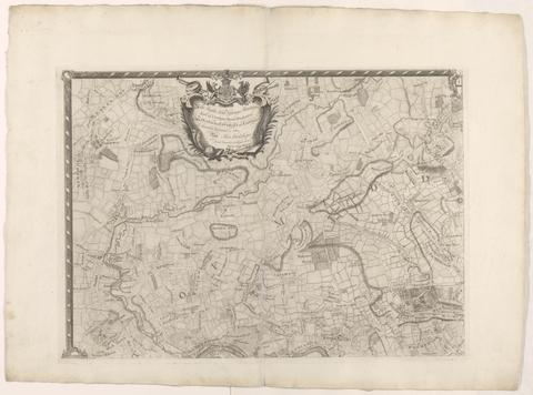
- Date:
- [1763]
- Physical Description:
- 1 map on 4 sheets ; 86 x 125 cm., sheets 58 x 79 cm.
- Collection:
- Rare Books and Manuscripts
![London and Westminster in the reign of Queen Elizabeth anno dom. 1563 [cartographic material] / Radulphus Aggus.](https://media.collections.yale.edu/thumbnail/ycba/693f90a8-80a4-4756-8dfb-b6fc214d8949)
- Date:
- October 30th, 1789
- Physical Description:
- 1 map ; 38 x 104 cm
- Collection:
- Rare Books and Manuscripts
- Credit Line:
- Yale Center for British Art, Paul Mellon Collection
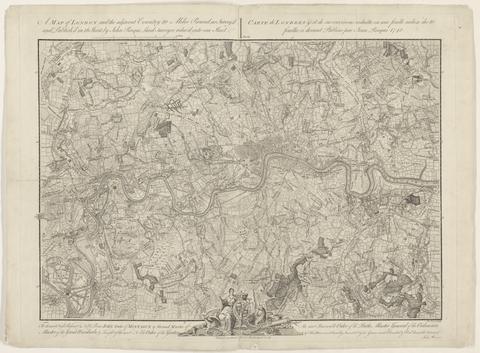
- Date:
- 1748
- Physical Description:
- 1 map ; 44 x 63 cm., on sheet 52 x 66 cm.
- Collection:
- Rare Books and Manuscripts
![A plan of mathematical learning taught in the Royal Academy, Portsmouth : performed by a student there 177[blank].](https://media.collections.yale.edu/thumbnail/ycba/c0aa2982-81d7-4478-bddd-d57c5423beee)
- Date:
- approximately 1798-1799
- Physical Description:
- 518 pages : illustrations, diagrams, maps ; 37 cm
- Collection:
- Rare Books and Manuscripts
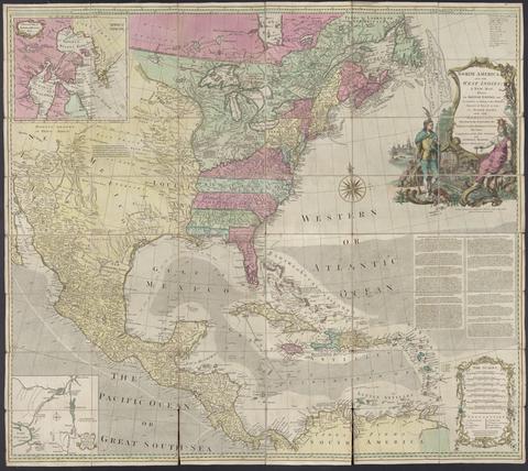
- Date:
- [1764?]
- Physical Description:
- 1 map : hand col., mounted on linen ; 103 x 116., folded to 20 x 14 cm., in case 20 x 14 cm.
- Collection:
- Rare Books and Manuscripts
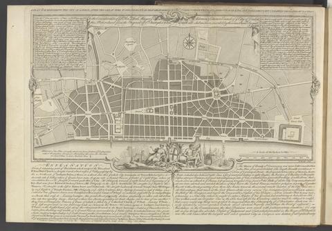
- Date:
- MDCCLXVU [1766]
- Physical Description:
- xv, [1], 132 pages, IIII folded leaves of plates : plans ; 27 cm
- Collection:
- Rare Books and Manuscripts
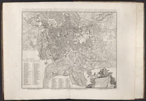
- Date:
- 1750
- Physical Description:
- 1 map ; 43 x 53 cm., on sheet 55 x 74 cm.
- Collection:
- Rare Books and Manuscripts
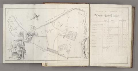
- Date:
- 1767
- Physical Description:
- 1 volume (122 leaves) : illustrations, maps ; 36 cm
- Collection:
- Rare Books and Manuscripts
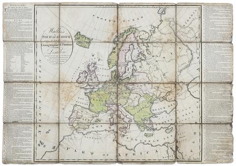
- Date:
- Nov. 24th, 1794
- Physical Description:
- 1 game : hand-colored engraving ; 46 x 50 cm, on sheet 49 x 70 cm, folded to 17 x 13 cm
- Collection:
- Rare Books and Manuscripts
- Credit Line:
- Yale Center for British Art, Gift of Ellen and Arthur Liman, Yale JD 1957

- Date:
- 1749
- Physical Description:
- 1 map ; 46 x 91 cm., on sheet 55 x 96 cm.
- Collection:
- Rare Books and Manuscripts
- Date:
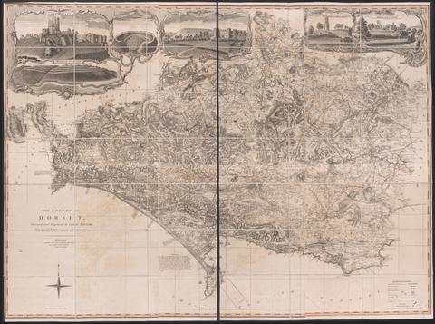
- June 1st, 1795
- Physical Description:
- 1 map on 6 sheets : hand colored ; sheets 53 x 44 cm
- Collection:
- Rare Books and Manuscripts
- Date:
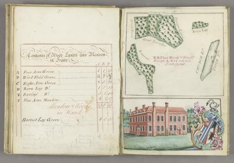
- 1774
- Physical Description:
- 1 v. (45, [3] p., with blanks) : ill., maps ; 24 cm.
- Collection:
- Rare Books and Manuscripts
- Date:
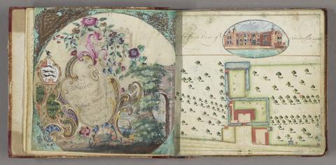
- 1777
- Physical Description:
- 1 volume : illustrations, maps ; 16 x 17 cm
- Collection:
- Rare Books and Manuscripts
- Date:
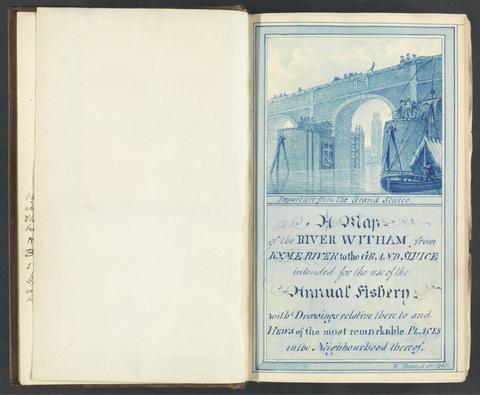
- 1784-1800
- Physical Description:
- 2 v. ; ill. ; 22 cm.
- Collection:
- Rare Books and Manuscripts
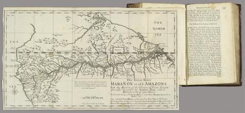
- Date:
- MDCCXII [1712]
- Physical Description:
- 2 volumes : illustrations, maps ; 20 cm
- Collection:
- Rare Books and Manuscripts
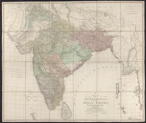
- Date:
- 1788
- Physical Description:
- 1 map : hand col., mounted on linen ; 105 x 124 cm., folded to 27 x 21 cm., in case 27 x 23 cm.
- Collection:
- Rare Books and Manuscripts
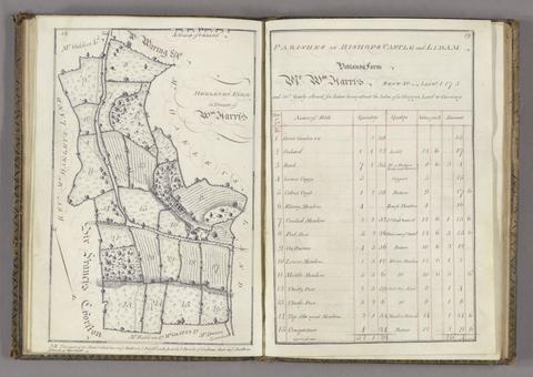
- Date:
- 1765
- Physical Description:
- 1 volume ([44] p.) : maps ; 26 cm.
- Collection:
- Rare Books and Manuscripts
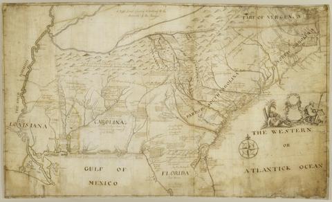
- Date:
- 1721
- Physical Description:
- 1 map : pen and black and brown ink, with red, yellow, and blue-gray wash ; 78 x 132 cm.
- Collection:
- Rare Books and Manuscripts
- Credit Line:
- Yale Center for British Art, Gift of the Acorn Foundation, Inc., Alexander O. Vietor, Yale BA 1936, President, in honor of Paul Mellon
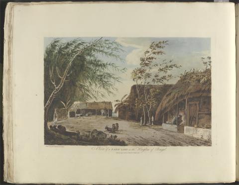
- Date:
- [1788]
- Physical Description:
- [44] leaves, [49] leaves of plates : illustrations, map ; 60 cm
- Collection:
- Rare Books and Manuscripts