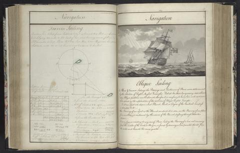
A plan of mathematical learning taught in the Royal Academy, Portsmouth
approximately 1798-1799
5
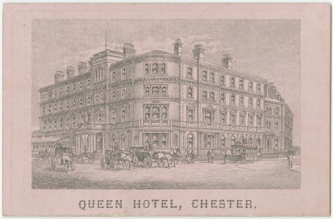
Queen Hotel (Chester, England)
Queen Hotel
[188-?]
6
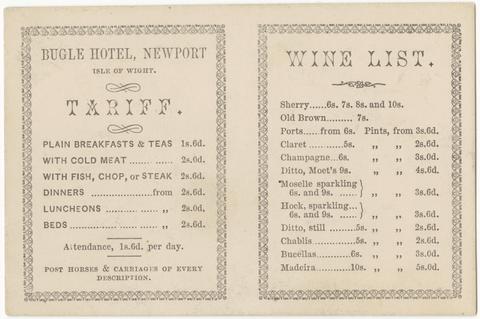
Bugle Hotel (Newport, England)
Bugle Hotel, Newport, Isle of Wight
[late 19th century]
7
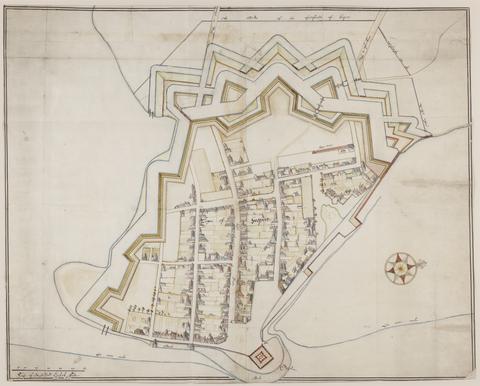
De Gomme, Bernard, 1620–1685
The bounds of the fortificatie of Gosport
approximately 1678
8
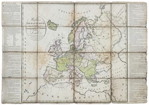
Wallis's tour of Europe
Nov. 24th, 1794
9
Saxton, Christopher, 1542?-
[The travellers guide
[1686?]
10
Probert, John, active 1764
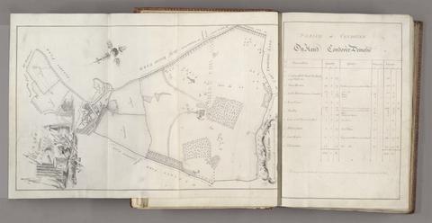
A survey and valuation of estates the property of Nicholas Smyth Esqr. and his Lady
1767
11
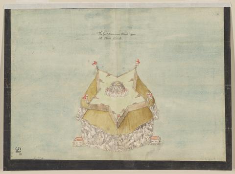
The Fort Devereux placed uppon the Ferne Islande
circa 1600
12
Banks, Sarah Sophia, 1744–1818
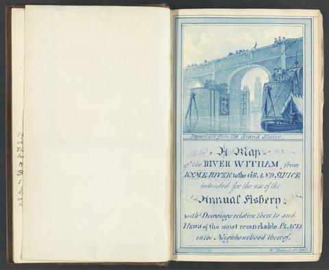
Sir Joseph Banks's fishery book of the River Witham in Lincolnshire
1784-1800
13
Probert, John, active 1764
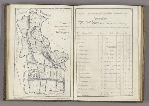
Survey and valuation of the several estates belonging to John Kinchant Esqr. and Emma his wife
1765
14
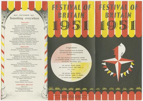
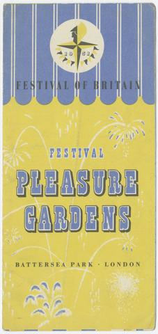
Festival of Britain (1951 : Great Britain)
Festival pleasure gardens
1951
15
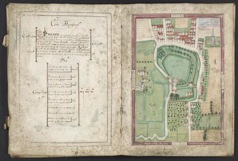
Basil, Simon, -1615
Survey of Hertford Castle
1608
16
Beckman, Martin, -1702
Plans for the fortifications at Hull
1681-1682
17
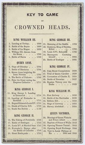
Crowned heads, or, Contemporary sovereigns
[ca. 1845?]
18
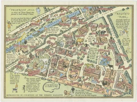
Zoological Society of London
A map of the Zoological Society Gardens in Regents Park commonly called The Zoo
[approximately 1947]
19
Archer, James, approximately 1632–approximately 1680
Plan of the town of Hull and its immediate surroundings
ca. 1680
20
Lear, Edward, 1812–1888
Illustrated excursions in Italy
MDCCCXLVI [1846]
21
Burnaby, Andrew, 1732–1812
Travels through the middle settlements in North America, in the years 1759 and 1760
1798
22
Charlevoix, Pierre-François-Xavier de, 1682–1761
A voyage to North-America: undertaken by command of the present King of France
MDCCLXVI [1766]
23
Jefferys, Thomas, -1771
A description of the Spanish islands and settlements on the coast of the West Indies
1762
24
G.W. Bacon & Co.
Bacon's large scale plan of Croydon
[1913]
25
Beckman, Martin, -1702
The groundplott of Bouche de Vale on the N.W. side of Guarnsey
1690
26
Valck, G. (Gerard), 1651–1726
Les isles Britanniques, qui contiennent les Royaumes d'Angleterre, Escosse, et Irlande
[approximately 1695]
27
Great Britain. Ordnance Survey
Part the first of the general survey of England and Wales containing the whole of Essex
1805]
28
Ptolemy, active 2nd century
Tercia Europe tabula
[1486]
29
Kitchin, Thomas, 1719–1784
Cambridgeshire
1747
30
Faden, William, 1749–1836
The United States of North America, with the British territories and those of Spain, according to the treaty of 1784
1793
31
Rocque, John, -1762
England and Wales
[circa 1768]
32
Du Petit-Thouars, Abel Aubert, 1793–1864
Voyage autour du monde sur la frégate la Vénus, pendant les années 1836-1839
1840-1864
33
Valck, G. (Gerard), 1651–1726
Magna Britannia, aut Anglia, Scotia et Hibernia, quarum prior divisa in septem Regna, sive Provincias, dictas Northumbriam, Merciam, Angliam Orient. Essexiam, Cantium, Sussexiam, Westsexiam, et Princi. Walliae. posterior in Septent. et Austr. Scotiam. postrema in quatuor Provincias Ultoniam, Lageniam, Momoniam, et Conagtiam
[approximately 1705]
34
Foster, Tony, born 1946
[Sacred places portfolio book]
[2015]
35
Ribbon map of the Father of Waters
1866
36
Crumpled city London
2011
37
Hoare, Richard Colt, Sir, 1758–1838
Terrae Horaeanae in com. Wilts, Dorset, Somerset
1829-1844
38
Evans, Lewis, 1700?-1756
A general map of the middle British colonies in America
1771
39
Anburey, Thomas, author
Travels through the interior parts of America
MDCCLXXXIX [1789]
40
Tweedie, W. (William), 1836–1914
The Arabian horse, his country and people
MDCCCXCIV [1894]
41
Cotter, Richard
Sketches of Bermuda, or Somers' islands
1828
42
Stanford, Edward, 1827–1904
A new map of metropolitan railways, tramways & miscellaneous improvements
January 1st, 1874
43
Rocque, John, -1762
A survey of the city and suburbs of Dublin
1757
44
Matthews, John, lieutenant in the Royal Navy
Twenty-one plans, with explanations of different actions in the West Indies, during the late war
MDCCLXXXIV [1784]
45
Koster, Henry, 1793–approximately 1820
Voyages dans la partie septentrionale du Bresil depuis 1809 jusqu'en 1815
1818
46
Atkinson, Christopher W. (Christopher William)
The emigrant's guide to New Brunswick, British North America
1842
47
Overton, Henry, 1675 or 1676–1751
America
[after 1727]
48
Arrowsmith, Aaron, 1750–1823
Ireland
1811
49
C. & J. Greenwood
Map of the county palatine of Durham,
Jan. 26, 1831
50
Lily, George, active 1528–1559
Britania insula quae duo regna continet Angliam et Scotiam cum Hibernia adiacente
anno MDLXII [1562]
51
W.J. Adams & Sons
The "District Railway" miniature map of London
[ca. 1887?]
52
Rapkin, J
England and Wales
[1851?]
53
Johnson, Isaac, 1754–1835
Ancient remains of art in the county of Suffolk
1834
54
Keith, William, Sir, 1680–1749
The history of the British plantations in America
MDCCXXXVIII [1738]
55
Morden, Robert, approximately 1650–1703
A new map of the English plantations in America
[ca. 1677]
56
Rocque, John, -1762
A plan of Paris and the adjacent country
1748
57
Exquemelin, A. O. (Alexandre Olivier)
The history of the bucaniers of America
1704
58
Survey of London made in the year 1745
[between 1884 and 1887?]
59
Karl Baedeker (Firm)
London and its environs
1878
60
W.H. Smith & Son
W.H. Smith & Son's war map of Afghanistan
1878
61
Carolus Flandro, Joris, 1601–1625
Tabula Islandiae
[ca. 1660]
62
Richard Jackson (Firm)
Jackson's map of the Bedale Hunt
[ca. 1896]
63
Ptolemy, active 2nd century
Prima Europa tabula
[1486]
64
G.W. Bacon & Co.
Bacon's large scale plan of Barking
[1913]
65
The Coronation of Their Majesties King George VI & Queen Elizabeth
[1937]
66
The city of London, in the time of the Saxons (about the year 1000)
April 25th, 1817
67
J. G. (John Gibson)
A new and compleat map of all America
[1763]
68
Burke, Andrew, active 19th century
Burke's descriptive guide, or, The visitors' companion to Niagara Falls
[1850]
69
Ortelius, Abraham, 1527–1598
Maris Pacifici (quod vulg ̣Mar del Zur)
1589
70
Morden, Robert, approximately 1650–1703
A new mapp of England Scotland and Ireland
[1678]
71
C. & J. Greenwood
Map of the county of Kent,
July 4th, 1829
72
Edward Stanford Ltd
Stanford's map of central London
1927
73
Blaeu, Joan, 1596–1673
Theatrum civitatum nec non admirandorum Neapolis et Siciliae regnorum
[1663]
74
Great Britain. Ordnance Survey
[Dunmow]
[not before 1862]
75
Great Britain. Ordnance Survey
[Cambridge]
1st June 1836
76
Wren, Christopher, Sir, 1632–1723
Ichnographia urbis Londinii
1724
77
Zeiller, Martin, 1589–1661
Topographia Helvetiæ, Rhætiæ et Valesiæ
Im Jahr MDCLIV [1654]
78
Foster, Tony, born 1946
Thoreau's country
[1998?]
79
Russell, Georgia, 1974–
Australia
2003
80
Pittman, Philip, active 1760–1770
The present state of the European settlements on the Missisippi