Search Constraints
You searched for:
Image Available Available
Remove constraint Image Available: AvailableImage Use Under Certain Circumstances
Remove constraint Image Use: Under Certain CircumstancesSubject Terms ships
Remove constraint Subject Terms: shipsSearch Results
1
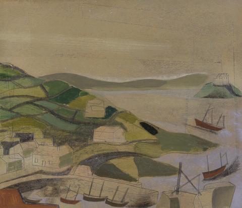
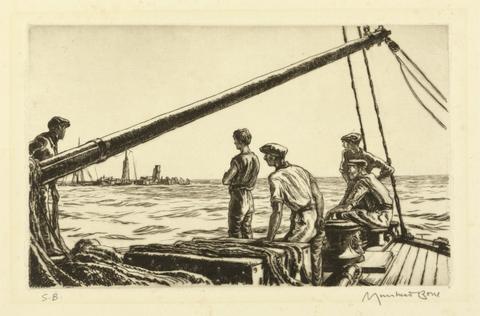
- 1947 (Mousehole, Cornwall)
- 1947
- Not on view
2
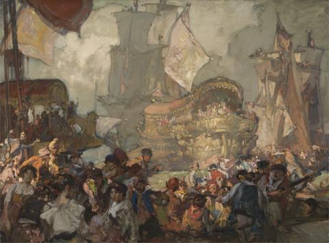
- Departure of the Bucintoro
- ca. 1910
- Not on view
3
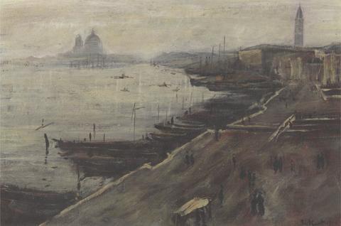
- A View of the Laguna, Venice
- 1895 to 1896
- Not on view
4
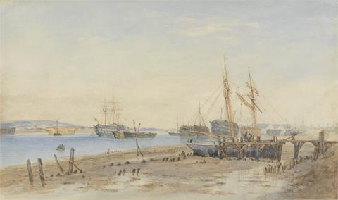
- Ships and Hulks Moored in an Estuary
- undated
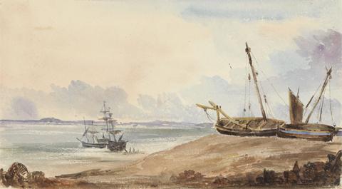
5
- Beach with Ships and Ship off Shore
- undated
6
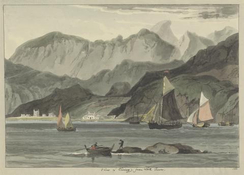
- View of Cuniag, from Loch Inver
- after 1814
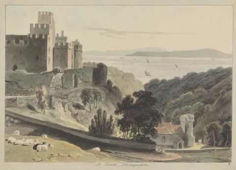
7
- St. Donats Glamorganshire
- after 1814

8
- Lancaster Castle
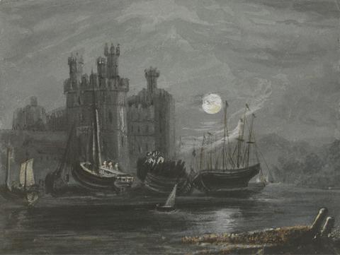
- after 1814
![Mrs. P. D. H. Page Map of Raleigh's Virginia: The East Coast of North America from Cape Lookout to Chesapeake Bay, after original by John White in the British Museum [Sir Walter Raleigh's Virginia, No. 111 A]](https://media.collections.yale.edu/thumbnail/ycba/aa273bf1-4d54-4726-99f1-aa8836010023)
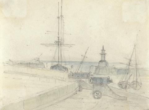
9
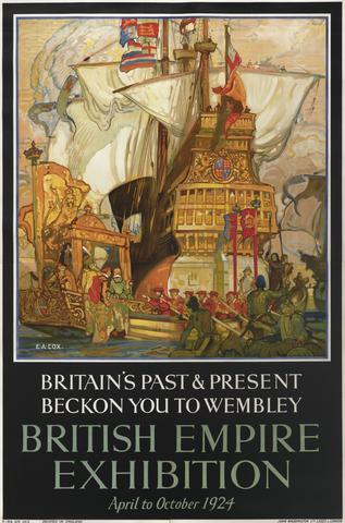
- Map of Raleigh's Virginia: The East Coast of North America from Cape Lookout to Chesapeake Bay, after original by John White in the British Museum [Sir Walter Raleigh's Virginia, No. 111 A]
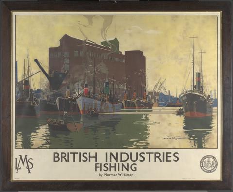
- undated
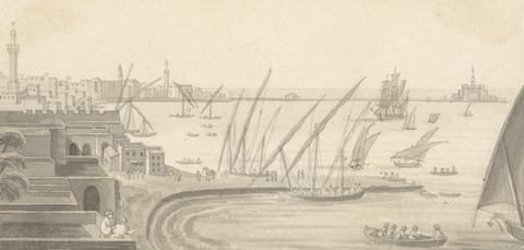
![Mrs. P. D. H. Page Map of North America from Florida to Chesapeake Bay, after the original by John White in the British Museum [Sir Walter Raleigh's Virginia, No. 110]](https://media.collections.yale.edu/thumbnail/ycba/f14d2599-644f-40b2-8aee-01feeb08ac1a)
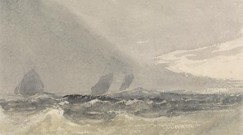
10
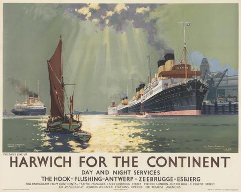
- Map of North America from Florida to Chesapeake Bay, after the original by John White in the British Museum [Sir Walter Raleigh's Virginia, No. 110]
- undated
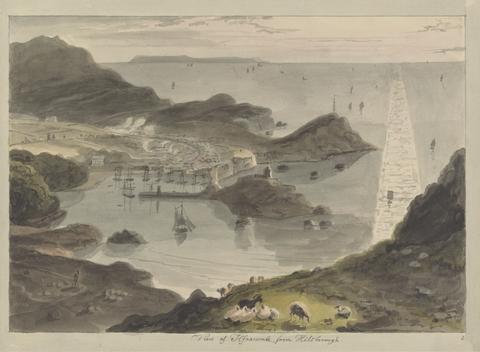
11
- View of Ilfracombe, from Hilsborough
- after 1814
12
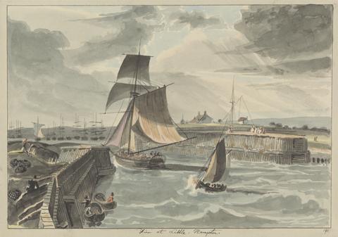
- Pier at Little, Hampton
- after 1814

13
- Exmouth, Devon
- after 1814
14
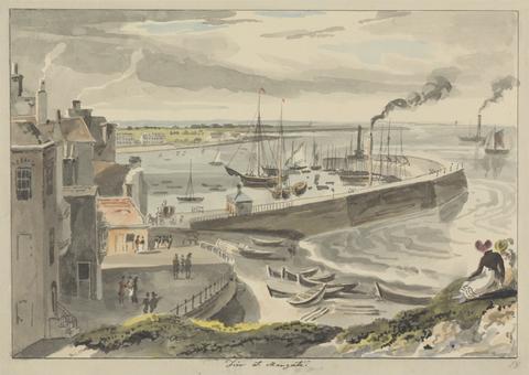
- Pier at Margate
- after 1814

15
- View from Mount Edgecumbe
- after 1814
16
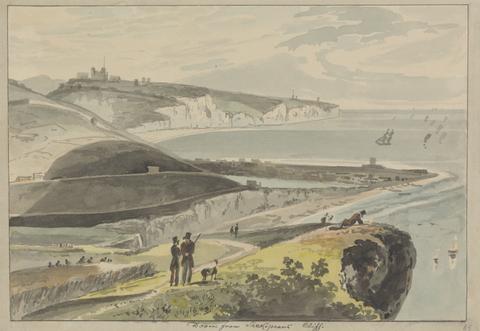
- Dover, from Shakespears Cliff
- after 1814
17
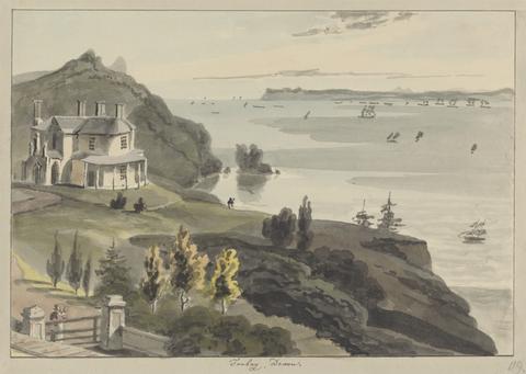
- Torbay, Devon
- after 1814
18
- Sherness
- after 1814
19
- The Citadel, Plymouth
- after 1814
20
- The Lizard Light-House Cornwall
- after 1814

21
- Near Beechy-head
- after 1814
22
- Mullyan Cove, Cornwall
- after 1814
23
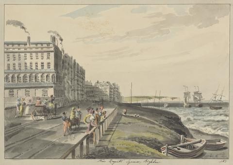
- Near Regents Square, Brighton
- after 1814
24
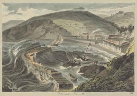
- Polkerris, Cornwall
- after 1814
25
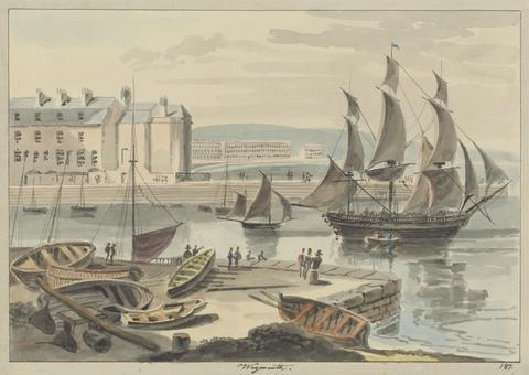
- Weymouth
- after 1814
26
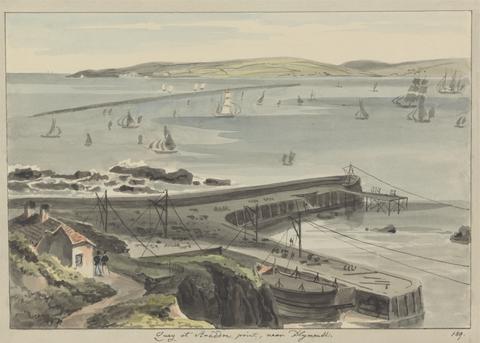
- Quay at Straddon Point, near Plymouth
- after 1814
27
- Lulworth Cove
- after 1814

28
- Sails, Hulls, and Boats
- undated
29
- The Mouth of the Thames, Isle of Sheppey in Distance
- 1891
30
- Brightlingsea Hard, Landing Oysters
- 1929
31
- Highbridge
- 1927
32
- Moonlit Scene of Castle and Ships
- undated
33
- Salvage Men, World War I
- 1919
34
- Ships and Cannons
- undated
35
- Britain's Past and Present
- 1924
36
- British Industries| Fishing | LMS
- undated
37
- Alexandria, Egypt
- undated
38
- Seascape - Sailing Ships on a Choppy Sea
- undated
39
- Harwich for the Continent
- 1940
40
- Hong Kong, Harbor Night
- 1924