Search Constraints
You searched for:
Associated Places United States
Remove constraint Associated Places: United StatesClassification Maps & Atlas (printed)
Remove constraint Classification: Maps & Atlas (printed)Search Results

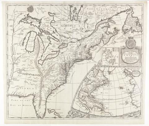
- Date:
- [ca. 1695]
- Physical Description:
- 1 map : engraving ; 51 x 60 cm
- Collection:
- Rare Books and Manuscripts

- Date:
- MDCCLXXVII [1777, i.e. 1778]
- Physical Description:
- 1 atlas ([74] leaves, some folded) : 40 maps ; 56 cm
- Collection:
- Rare Books and Manuscripts

- Date:
- 1793
- Physical Description:
- 1 map : hand col. ; 53 x 63 cm
- Collection:
- Rare Books and Manuscripts

- Date:
- [ca. 1677]
- Physical Description:
- 1 map : engraving ; 42 x 52 cm
- Collection:
- Rare Books and Manuscripts

- Date:
- [1776]
- Physical Description:
- 1 atlas ([3], vi-viii, [2] pages, [6] folded leaves of plates) : maps ; 23 cm
- Collection:
- Rare Books and Manuscripts

- Date:
- Jany. 1st 1796
- Physical Description:
- 1 map : hand col., mounted on linen ; 123 x 141 cm.
- Collection:
- Rare Books and Manuscripts

- Date:
- 1719
- Physical Description:
- 1 map : engraving, hand colored ; 49 x 58 cm, on sheet 55 x 63 cm
- Collection:
- Rare Books and Manuscripts

- Date:
- [19--?]
- Physical Description:
- 1 map ; 48 x 59 cm., on sheet 64 x 78 cm.
- Collection:
- Rare Books and Manuscripts

- Date:
- [1762?]
- Physical Description:
- 1 map on 4 sheets : hand colored ; 87 x 89 cm
- Collection:
- Rare Books and Manuscripts