Search Constraints
You searched for:
Period 18th century
Remove constraint Period: 18th centurySubject Terms Great Britain -- Maps -- Early works to 1800.
Remove constraint Subject Terms: Great Britain -- Maps -- Early works to 1800.Search Results

- Date:
- [1786]
- Physical Description:
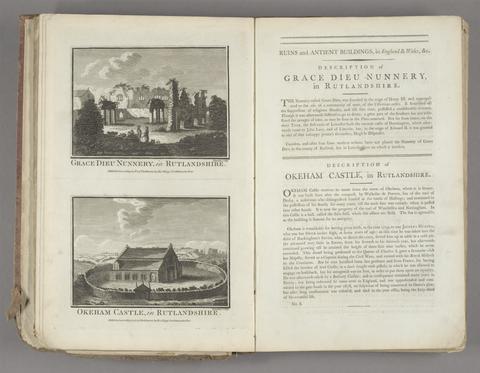
- 1 v. (various pagings) : ill. ; 40 cm.
- Collection:
- Rare Books and Manuscripts
- Credit Line:
- Yale Center for British Art, Gift of Elizabeth Langhorne

- Date:
- [ca. 1700]
- Physical Description:
- [4] p., [44] leaves of plates, [1] folded : ill., maps ; 20 x 24 cm.
- Collection:
- Rare Books and Manuscripts

- Date:
- [approximately 1705]
- Physical Description:
- 1 map : engraving, hand-colored ; 46 x 58 cm, on sheet 54 x 65 cm
- Collection:
- Rare Books and Manuscripts

- Date:
- [17--]
- Physical Description:
- 1 atlas (4 leaves) : hand col. maps ; 23 cm.
- Collection:
- Rare Books and Manuscripts

- Date:
- [1764]
- Physical Description:
- 1 atlas ([3], [22], [18] leaves) : 22 maps, 18 plans (some folded) ; 13 x 16 cm.
- Collection:
- Rare Books and Manuscripts
- Date:
- [1970]
- Physical Description:
- 16 p., 230 plates : 2 col. illus., coats of arms, maps. ; 54 cm
- Collection:
- Reference Library