Search Constraints
You searched for:
Period 17th century
Remove constraint Period: 17th centuryAssociated Places London (England)
Remove constraint Associated Places: London (England)Search Results

- Date:
- 1677]
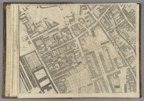
- Physical Description:
- 1 map : 160 x 255 cm. on 20 sheets 40 x 51 cm.
- Collection:
- Rare Books and Manuscripts

- Date:
- [169-?]
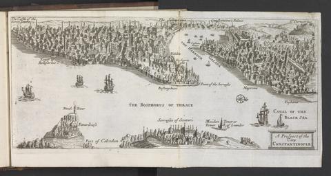
- Physical Description:
- [65] leaves (some folded) : all ill. ; 16 x 18 cm.
- Collection:
- Rare Books and Manuscripts

- Date:
- [1666?]
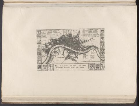
- Physical Description:
- 1 map ; 14 x 24 cm., on sheet 37 x 55 cm.
- Collection:
- Rare Books and Manuscripts

- Date:
- 1666
- Physical Description:
- 1 map ; 30 x 54 cm., on sheet 50 x 58 cm.
- Collection:
- Rare Books and Manuscripts

- Date:
- 1881-1882
- Physical Description:
- 1 portfolio (7 plates) : all ill. ; 53 x 295 cm, on 7 sheets 80 x 59 cm, in cover 79 x 58 cm.
- Collection:
- Rare Books and Manuscripts

- Date:
- [1666]
- Physical Description:
- 1 sheet ([1] p.) ; 29 x 38 cm.
- Collection:
- Rare Books and Manuscripts

- Date:
- 1657
- Physical Description:
- [10], 124, 301-407, [8] p., 3 leaves of plates : port., map ; 28 cm.
- Collection:
- Rare Books and Manuscripts

- Date:
- 1637
- Physical Description:
- 24 p. ; 18 cm.
- Collection:
- Rare Books and Manuscripts

- Date:
- 1690
- Physical Description:
- [10], 444 p. : coats of arms ; 15 cm.
- Collection:
- Rare Books and Manuscripts

- Date:
- 1633
- Physical Description:
- [16], 534, 527-652, 655-770, 773-939, [29] p. : illustrations 35 cm (fol.)
- Collection:
- Rare Books and Manuscripts

- Date:
- 1677
- Physical Description:
- [14], 48 p., [1] leaf of plates : plan ; 28 cm.
- Collection:
- Rare Books and Manuscripts

- Date:
- 1908
- Physical Description:
- 2 v. fronts. (v. 1. port.) illus., fold. map inserted, double facsim. 23 cm.
- Collection:
- Reference Library