Search Constraints
You searched for:
Date 1827
Remove constraint Date: 1827Associated Places Northamptonshire (England)
Remove constraint Associated Places: Northamptonshire (England)Search Results
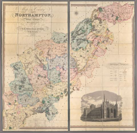
1. Map of the county of Northampton / from actual survey by A. Bryant, in the years 1824, 1825 & 1826.

- Date:
- 1827
- Physical Description:
- 1 map on 2 sheets : hand col., mounted on linen ; 386 x 196 cm., sheets 193 x 98 cm., folded to 25 x 17 cm., in case 27 x 19 cm.
- Collection:
- Rare Books and Manuscripts