Search Constraints
You searched for:
Date 1743
Remove constraint Date: 1743Associated Places Kent (England)
Remove constraint Associated Places: Kent (England)Subject Terms Kent (England) -- Maps -- Early works to 1800.
Remove constraint Subject Terms: Kent (England) -- Maps -- Early works to 1800.Search Results

- Date:
- 1743
- Physical Description:
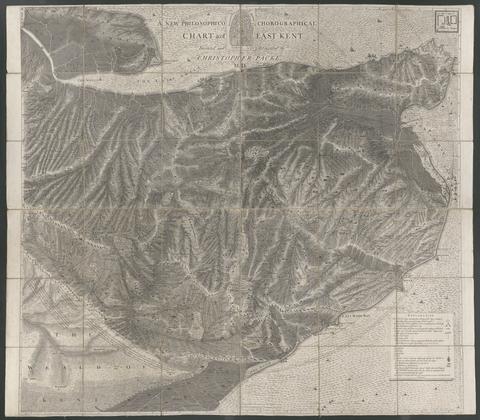
- 1 map : mounted on linen ; 122 x 140 cm., folded to 21 x 24 cm.
- Collection:
- Rare Books and Manuscripts